Thanks for stopping by Where to Bike New York City.
We’ve got rides here. Lots of routes. Rides for the downloading. Whatever you want to call them. We show you where to ride. We tell you where to ride New York City.
Rides in all five boroughs (The Bronx, Brooklyn, Manhattan, Queens, Staten Island), as well as Westchester and New Jersey.
You can purchase the routes by clicking on the drop-down menu called “Download Rides” or you can find THE RIDES HERE.
But first, you need a bit of knowledge. Let me explain…

As much as I love paper maps, getting a ride on your phone or bike computer makes loads of sense. You’re probably carrying it already, it has mapping capabilities, it can tell you where to turn, it doesn’t get destroyed from sweat like an old-fashioned map. (well, at least not if you’re using a bike computer or phone with an IPX rating of 7 or higher).
So, to that end, I’m offering the rides in the Where To Bike New York City book as downloads, both singles and bundles. Pay a fee, download a PDF with intelligence you’ll need (turns, advice, etc) and a GPX map file, and you’re good to go.
What you need.
To download bike rides, You’ll need at least a computer or mobile device. You can download the files straight to your phone, open the files with an app, and you’re golden.
Or you can download it to your phone, tablet, or computer, move it to a GPX-enabled bike computer, and go from there.
Or you can download to your computer and push it to your phone, tablet, or bike computer.
The downloading from your computer/tablet/mobile device is pretty much the same as any download. Sign up, pay, and boom.
The PDF can be printed to put in a pocket, or stored on your mobile device for reference.
Download an App.
If you want to do the dirty deed of with your phone, you’ll need an app that reads a GPX file. There are so many There are free apps, pay apps, freemium apps. Apps I’ve heard of include: Beeline, Bike GPX, GPX-Viewer, GaiaGPS, MapMyRide, RideWithGPS, Strava, Zeopoxa, and many more. Beeline, Bike GPX, GPX-Viewer seem to be simpler, are easy in the free versions, and those things could be an advantage for you. Some apps can use a voice to tell you when to turn. GPX-Viewer seems to make a big deal about privacy. Depending on your phone plan, battery life, access, and privacy issues, you may or may not want one that allows you to use the app without data (aka offline). Search for “maps” on your phone and see what comes up. Google maps doesn’t work for this sort of thing.
Once you have the app installed, you search for the downloaded file in “files,” then touch the gpx file’s icon. That should pop up a window asking which app you want to use to open the file. Choose the app. When it opens, you’ll see the route placed on the map.
You can keep your phone in a pocket, or you can find a mount that puts the phone on your stem, handlebars, or in front of the bars. Most bike shops probably sell such mounts. Delta makes several. Here’s a review of more.
If you don’t like riding with a phone, a GPS-enabled bike computer is as good or better.
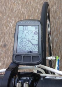
You can also “push” or transfer the GPX file to many a GPS-enabled bike computer. If you don’t already have one, this is probably a discussion for another day. You should know that many bike computers sold these days seem have GPS capabilities, which can be a good thing–don’t have to set up a speedometer on a wheel and the rides can be recorded and saved or shared (if you’re into that sort of thing). Though you’ll need the computer to also have mapping capabilities. Some bike computers have a companion app that goes on a phone so your phone and bike computer can communicate, others have an app for a computer or can be accessed through a web browser. The biggest player in this market is currently Garmin, though in the US, Wahoo is making big strides. Others include: Cateye, Lezyne, Stages, and many others. In some cases, you’ll need a cable to transfer the ride from your computer/tablet/phone, but many bike computers these days, especially the ones with GPS capabilities, can communicate wirelessly with other computers This is where the companion app comes in. So you just need to have the device which is storing the GPX files to “find” the bike computer and then you can easily transfer.
Where the rides are.
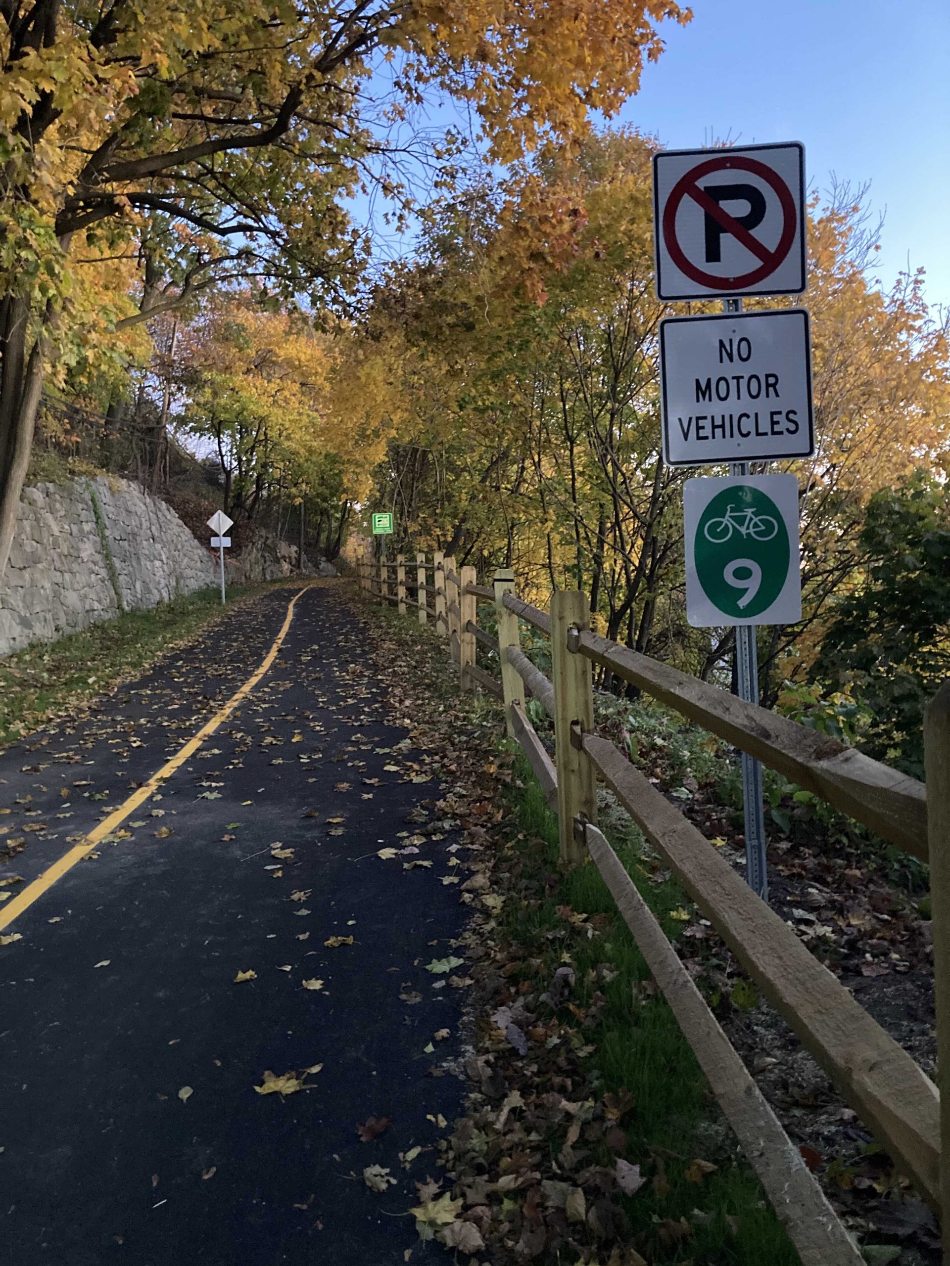
The rides are in all five boroughs, northern New Jersey, and Westchester–rides New York City people can easily get to. You’ll know where to ride New York City. Over 50 rides for the downloading. Rides are as short as 400 meters, as long as 100 miles.
The rides are priced individually, though I’ve thrown in some free samples. I’ve also created bundles, mostly by borough, though there is a wormhole bundle for those who like to go long. So you can get all a boro’s rides at once and save a…bundle.
You can purchase the Where To Bike New York City rides by using the pull-down menu at the top of this page, or you can click here.
If downloads, mapping apps, and the like seem too complicated, then there’s still the book in paper. At least until supply runs out.
You can read up on and buy the book here.
Ride.
The Bundles (rides for the downloading)
Wormhole Bundle. Great for adventure, exploration, & training.
Where To Ride New York City. Rides for the downloading.