$4.50
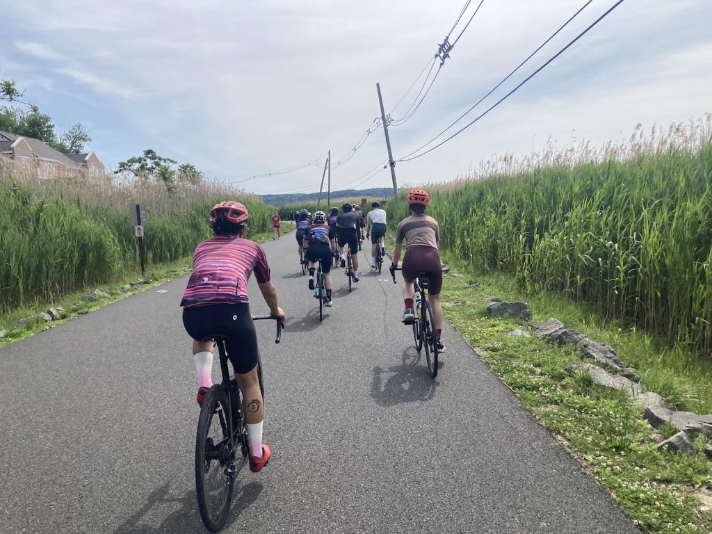
Start/Finish: Piermont, NY. Going through: Rockland, Distance: 36.7 miles, Climbing: 2,667′.
Description
Where it starts to get good
For many New York City cyclists, the ride from the George Washington Bridge to Piermont is simple, straight, and kind of boring. Just get to 9W and head north. Things start to get interesting around Piermont.
This ride starts from Piermont, where the interesting stuff begins. For city riders, it does necessitate either driving or taking a bus to Piermont, or perhaps taking the train to Tarrytown and riding over the Tappan Zee and then south to Piermont.

copyright © J.P. Partland, 2024. All rights reserved.
The town is worth a look
Piermont, originally Tappan Landing, got its name from the portmanteau of Pier, named for the artificial pier that was built by the Erie Railroad that brought people and stuff to a dock by a ferry which went down to New York City. and Mont, the adjacent Clausland Mountain, which begins on the west side of the main drag. You can see a faded version of the town in the movie The Purple Rose of Cairo.
The suburbs are getting less suburban
The NYC metro area is pretty dense, but you can see the area’s density starting to disappear on the way north. Houses have more land around them, trees are taller, roads are curvier. In areas like this, it’s easy to get turned around and not realize it–or the reverse, feel you’re turned around when you’re not.
The fact that nothing is straight for long, that you’re often descending a little or climbing a little keeps the riding fun.
The bonus of starting in Piermont.
There’s a good bike shop in town that is pretty much open all day every day–they’re often quick with service, so if you need something tuned or fixed, or need supplies, they can set you up.
There are a few coffee shops, several restaurants, a few bars, a market, at least one art gallery, and more. And you owe it to yourself to ride out to the end of the pier, which is over a mile out into the Hudson, to check out the views.
Particulars (Flatter Piermont)
Start: Piermont, NY.
Finish: Piermont, NY.
Going through: Rockland county.
Distance: 36.7 miles
Climbing: 2,667′
Includes: Two PDFs with intelligence (one for printing, one for electronic viewing) and a GPX file to upload to your bike computer or mobile device. A how-to can be found here. The PDF prepares you for the route and can be glanced at, printed out and/or uploaded to your mobile device. The GPX is to be uploaded into your bike computer or mobile device so you can let the machine give you the directions as you ride along.


